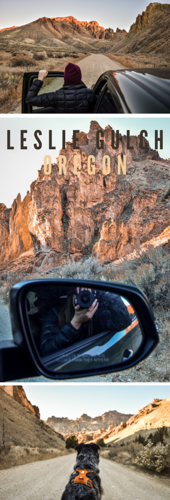
Rugged desert, towering rock formations, scenic drives, and one-of-a-kind plant life.
It’s all waiting for you in the rugged, gorgeous canyon that is Leslie Gulch.
Oregon is primarily known for its coastal highway, impressive waterfalls, and rainforest-y trees. But Eastern Oregon boasts an entirely different, and uniquely beautiful, landscape. Desert hot springs, vast canyons, lofty rock formations, painted hills, and open prairies.
Honestly, it’s a whole vibe.
I’ve only recently started exploring this [incredibly huge] area of Oregon – which is strange, since I practically live on the border – and I have not been disappointed. But of all these non-disappointments Leslie Gulch, by far, has been the most impressive. Plus, the history of the name is intriguing – however sad – if you have kind of a morbid fascination (like me). It was named after a pioneer who was struck by lightning and killed there in 1882. RIP Hiram Leslie.
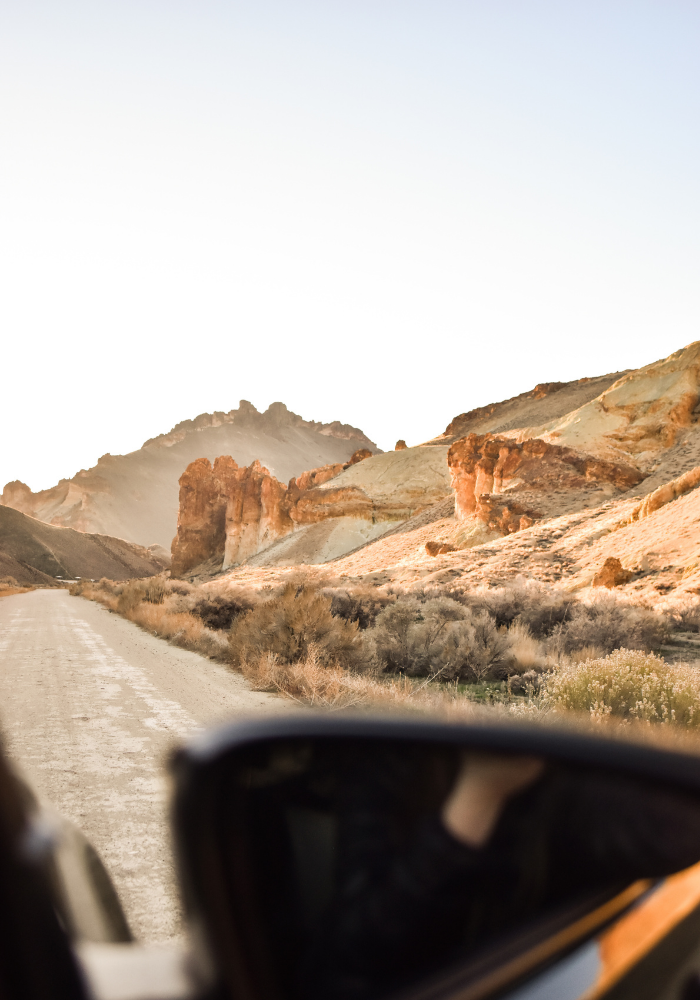
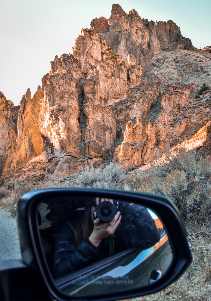
Leslie Gulch Road winds through a rocky canyon and every turn and curve brings brand new scenery + magical views. So be prepared to pull off the side of the road every few hundred feet! You’d think rock formations would get old after a minute, but… they don’t.
AFFILIATE LINK DISCLOSURE: This post contains affiliate links. Anything you purchase using one of my links earns me a small monetary kickback at NO extra cost to you. Of course I only link to products that I believe to be useful and good quality. If you want more information on affiliate links and why I use them, click here.
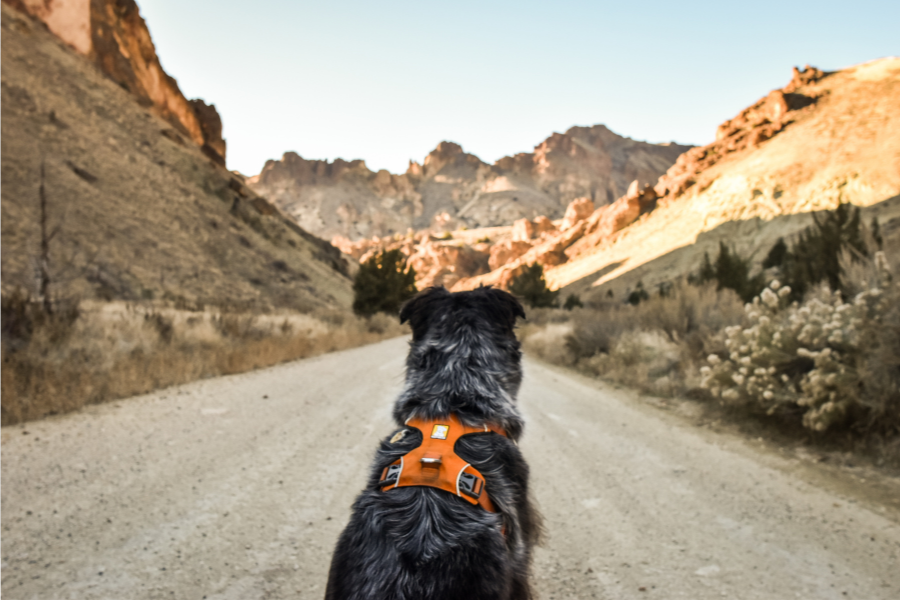
But before we get into directions and things to do (i.e. the fun stuff) let’s go over some important details and things to know to make your trip safe(ish) and fun!
Safety Tips + Road Conditions
The most important road-related things to consider before visiting Leslie Gulch:
- Road Conditions
- Weather – Flash floods are a thing!
- Your Vehicle’s Off-Road Readiness
This area is somewhat maintained, but more so in the summer. Remember, if you’re visiting outside of peak season you could run into some rough conditions. Make sure you check the weather a few days before your trip. You’ll want to see a few consecutive days of dry weather. If it has rained recently, roads could be dangerous – even if you have 4WD and good tires.
Regardless of road conditions though, you’ll want to visit Leslie Gulch in an off-road ready vehicle. That means a vehicle with good tread on the tires, 4-Wheel drive and (preferably) high clearance since you’ll likely be kicking up some rocks and gravel. We took our Toyota Tacoma (#notsponsored) and it handled super well!
NOTE: Be sure to watch for cows! You’ll be passing through a lot of farmland.
Other Safety Tips + Hazards
- Look out for wildlife. Bobcats, bats, rattlesnakes, oh my! Because of the rattlesnakes in Leslie Gulch, I’d recommend keeping pets on-leash and wearing boots and pants.
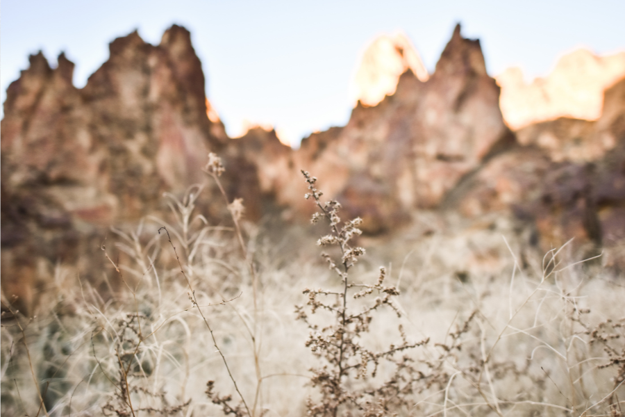
- Stay on Trail. To avoid rattlesnakes and to avoid damaging plant life! Leslie Gulch is home to EIGHT very rare plant species.
- Dress for the season. Pack appropriately for the weather and note that trails are often overgrown in the off-season (late fall – early spring). If you’re planning on hiking outside of peak season, you’ll want to wear long pants and long sleeves to save your skin (literally).
- Pack and prep. We’ll dive into that in the next section!
How to Prep + What to Pack for Leslie Gulch
PREP
- Check the weather. I know I said that already, but it can’t hurt to drill it in! Make sure the weather is dry and has been for at least a couple days.
- Check your tires. Again, important. You need good tread for an area this rugged!
- Let someone know where you’ll be. You won’t have cell service out in Leslie Gulch, so make sure someone knows where you are and when you plan to return in the off chance that things go awry. Send them directions to your location and inform them of all the safety precautions just in case they need to come rescue you!
- Download an offline map and / or print directions. As I said, cell service isn’t really a thing out here, so you’ll want to have a backup map (or two!)
- FILL your gas tank! There aren’t really any nearby gas stations. If you’re driving into Oregon from the Boise area, your last opportunity is the gas station at the Highway 95 and Highway 55 intersection.
- Pack what you need. See the next section 🙂
PACK
- Food + Water. There aren’t many amenities nearby, so make sure you have enough food for your trip and enough water. A good rule of thumb is to bring a gallon of water per person, per day. And don’t forget to pack extra if you have pets!
- Jumper Cables. Always a necessity, no matter where you’re headed.
- First Aid Kit. Again, I always keep one of these in each vehicle.
- Extra Gas. If you have a safe way to transport a gas can, having extra gas on hand could save your emergency contact a trip out to rescue you!
- Navigation. If you’re planning on hiking in the area, I recommend bringing a GPS device. I use the Garmin Instinct Solar GPS Watch and I absolutely love it!
- Toilet Paper. There is a pit toilet bathroom at the Slocum Creek campground (near the end of Leslie Gulch Road), but don’t rely on the toilet paper being stocked!
- Trash Bag. To pack out anything you brought in (and to keep your vehicle clean!).
- Headlamps. Always pack multiple light sources – even if you’re planning on leaving before dark. Plans change!
- Appropriate Clothing. Bring sunglasses, wear good shoes and dress for the weather. Personally, I’d recommend packing layers and wearing long pants no matter the weather. Conditions can always change. Also, there is a lot of dry brush here (which means ticks in the summertime!) and trails are often overgrown in the winter (which means mild bushwhacking may be required).
- Gaiters. These are optional, but Leslie Gulch is a really dusty area. Gaiters can help keep dust and dirt out of your boots.
- Camera + Extra Camera Batteries. There are tons of great photo opportunities here!
NOTE: If you’re camping at Slocum Creek Campground, you’ll need more supplies than this! You can check out my full camping checklist here.
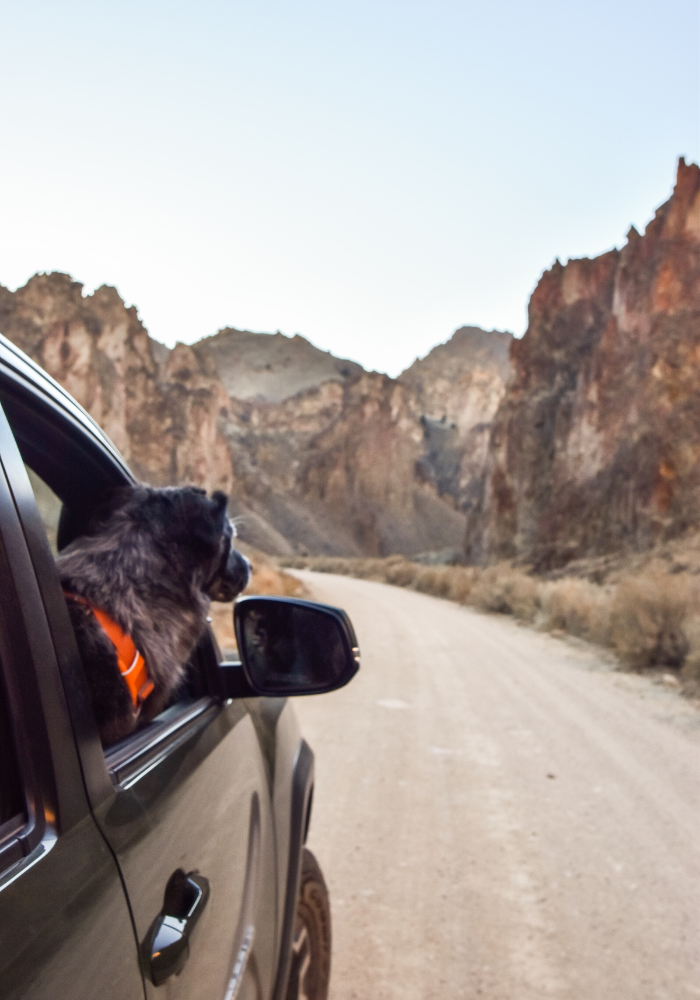
Bringing Your Dog to Leslie Gulch?
Whenever you’re bringing your BFF along, there are always a few more things to pack – and a few more things to consider! This is especially the case with Leslie Gulch, being that it’s such wild and rugged territory.
THINGS TO CONSIDER
- Weather. If the weather is too hot, it might not be a good idea to bring your dog.
- Wildlife. Bobcats, bats, bighorn sheep, and rattlesnakes are among the listed animals in the Leslie Gulch area. You’ll need to make sure your dog is within your control at all times so you can keep them from “exploring” and getting into trouble. This may or may not be a deal breaker for you.
- Packing out Trash. There is very limited waste pickup in Leslie Gulch, which means you’ll have to pack everything out – including poop bags.
WHAT TO PACK
- Tags. Make sure your dog is wearing his or her tags at all times in case they need to be identified and returned to you.
- Leash. I didn’t see any leash rules for this area, but I would recommend using one! Leslie Gulch is loaded with dangerous terrain. Not to mention, rattlesnakes definitely pose a threat – as do bats (being that they’re rabies carriers). Of course, most people have their dogs vaccinated against rabies, but unfortunately no vaccine can be 100% effective – so there is still a small risk.
- Dog Shoes / Booties. Optional, but recommended if you’ll be hiking. In the summer the ground can get extremely hot, and there are lots of sharp rocks and thorny plants all year-round! For Tuna, we use the Ruffwear Grip-Trex booties. They’re sold in pairs of 2, since most dogs wear different sizes on their back and front feet.
- Poop bags. ‘Nuff said.
- Flea + Tick Spray. There’s tons of dry brush in Leslie Gulch, and dry brush is prime hunting grounds for nasty little ticks. If you’re visiting in the colder months this may not be an issue, but it never hurts to be over-prepared! If you’ve ever pulled a plump tick off your dog, you know that it’s something to be avoided at all costs (blech).
- Extra Water. Tuna goes through just as much water as we do, so I recommend adding another gallon per day, per dog (just in case!).
- Collapsible Water Bowl. So your dog can take regular water breaks! This is especially important in the summer months. Dogs can overheat just like we can, and sometimes they don’t listen to their body’s signals as well as we’d like. Make sure to take regular water breaks for yourself and your fur baby.
- Car Seat Cover + Towels. Optional, but recommended. Leslie Gulch is dusty and dirty, and if your dog takes a dip in the river you’ll definitely want your seats protected! In case you’re in the market: we use the Ruffwear Dirtbag Seat Cover and no lie, it’s THE best. It’s ultra-durable, super easy to adjust, has side flaps to protect the edges of the seats, and it even comes equipped with a huge pocket for storing your dog’s gear!
How To Get to Leslie Gulch, Oregon
Leslie Gulch is located in Southeastern Oregon, and it is REALLY far East. Hence why it’s so much closer to Boise than any major Oregon city. This is a dry, desert-y area, so be prepared to kick up gravel and rocks – and maybe wait on that car wash until after your trip! You will have to drive about 22 miles on gravel and dirt roads to reach your destination and the road can at times get a little narrow (with a few steep-ish ditch areas). This is also farmland – meaning there are livestock animals, four-wheelers, and kids out playing – so drive slowly / carefully and also be sure to move off to the side for oncoming cars.
Boise, Idaho to Leslie Gulch, Oregon 78.6 Miles | 2 Hours 08 Mins
Portland, Oregon to Leslie Gulch, Oregon 454 Miles | 7 Hours 45 Mins
Bend, Oregon to Leslie Gulch Oregon 352 Miles | 7 Hours 11 Mins
If you’re driving from Boise, Idaho here are some general directions and tips for your trip:
- Before leaving Boise, stock up on snacks and fill up your gas tank. For most vehicles, a full tank should get you from Boise to Leslie Gulch and back again!
- From Boise, take 84 West down to the Karcher exit in Nampa, Idaho (my hometown!)
- Turn Right onto Karcher Rd. Note that Karcher Rd. turns into Highway 55
- Follow Highway 55 through the town of Marsing, Idaho
- Shortly after Marsing, you’ll reach the intersection of Highway 55 and Highway 95. There is no stop sign, you’ll just have to watch for the signs and get ready to turn left onto 95. Note: This intersection is where you’ll see that final Chevron station I mentioned earlier! If you need gas, make SURE to get it here.
- Once you reach the intersection, turn left onto Highway 95. Note: I lost signal about 10 miles down this highway
- Continue on Highway 95 for 19.1 miles, then turn right onto McBride Road. Note: This is where the road turns to gravel + about 4 miles down this road you officially cross the border into Oregon. This is also, almost solely, farmland so be sure to watch for livestock for the remainder of your journey
- McBride Road is winding, and at one point you’ll make a pretty sharp left to stay on McBride Road. Pay attention to the signs. You want to stay on McBride for 6.1 miles, until you see a sign for Succor Creek Road
- Turn right onto Succor Creek Road, then fairly soon after take another right (to stay on Succor Creek Road)
- About 1.5 miles after the last right turn, you’ll see a sign for Leslie Gulch – turn left to get onto Leslie Gulch Road.
- Leslie Gulch Road is, essentially, your destination. All the great photo opportunities are along the road! Thankfully there are plenty of places to pull off the road. Note: This road goes on for 14 miles and will take you all the way down to the Leslie Gulch Boat Ramp (where the road ends), but we stopped at Slocum Creek Campground (which is fairly close to the boat ramp).
Things to do in Leslie Gulch
PHOTOGRAPHY
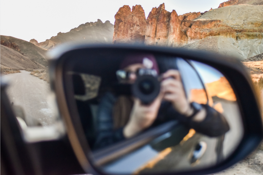
There is so much to see, even from the comfort of your vehicle! If you don’t have time to stay overnight, hike around, or paddle the river, Leslie Gulch is absolutely still worth the trip out. Driving through the canyon and snapping photos was my favorite part of our trip!
HIKING
There are a few hiking trails along Leslie Gulch Road:
Upper Leslie Gulch Trail
Difficulty: Easy | Distance: 4.1 Miles | Elevation Gain: 659 Feet | Trail Type: Out & Back
Juniper Gulch Trail
Difficulty: Moderate | Distance: 3.3 Miles | Elevation Gain: 1,046 Feet | Trail Type: Out & Back
Unmarked Trail (Next to Slocum Creek Campground)
I believe this is an out & back trail, but I’m not sure. We hiked a short distance on this path, but didn’t have much time to explore before dark.
CAMPING
Slocum Creek Campground is a great place to camp! Typically, campgrounds aren’t very scenic (especially free campgrounds) but Slocum Creek is definitely an exception to that rule! It’s surrounded by gorgeous rock formations, has more amenities than most dry campsites, and is very well-kept (let’s make sure to keep it that way!). Here’s some general information about the campground:
Fee: Free! First come, first served.
Number of campsites: 12
Picnic tables: Yes
Fire rings: Yes
Bathrooms: Pit toilets. BYOTP.
Maximum Stay: 14 nights
STARGAZING
Desert skies have THE best stars! This is a beautiful place to brush up on your night photography skills.
PADDLEBOARDING | KAYAKING | BOATING
Continuing a little ways past Slocum Creek Campground, you’ll find the Leslie Gulch Boat Ramp. Motorized and non-motorized small watercrafts are allowed!


Before you finalize your plans, check out some of my other Eastern Oregon adventures!
Other Adventures Near Leslie Gulch:
ALVORD DESERT HOT SPRING
CRANE HOT SPRINGS + RESORT
pin it like it’s hot.
